In 3D reconstruction, there are two main methods: vision and LiDAR (laser radar). The distance measurement method of vision technology is based on triangulation, with a maximum range of 5-8m, which makes it unsuitable for large spaces. Moreover, this method is significantly affected by light conditions. In contrast, LiDAR can be used in a wider range of scenes.

1.2 Application Field
The application of 3D modeling is extensive, encompassing real-time obstacle avoidance and path planning for unmanned aerial vehicles and driverless cars. It integrates well with machine vision, 3D printing, and has significant applications in cultural relics reproduction and reconstruction. The laser radar 3D modeling system based on ZYNQ designed in this project can delve into target environments, gather point clouds, reconstruct 3D space models, and support various machine vision applications.
1.3 Main Technical Characteristics
Firstly, the system utilizes the ICP algorithm from the PCL point cloud database, enabling iterative processing of lidar data for accurate registration.
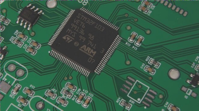
Secondly, the system integrates a laser radar PCB onto a

Part II: System Composition and Function Description
2.1 Overall Introduction
The system comprises a laser radar, STM32-based wheat wheel trolley, and Xilinx PYNQ-Z2. The laser radar transmits collected point cloud data to the PYNQ-Z2 via the Internet port. The trolley, equipped with a motor encoder, gyroscope, and Bluetooth module, allows remote control of its steering and movement through a Bluetooth mobile app. During operation, displacement and attitude data are sent to the STM32 microcontroller, which further transmits this information to the PYNQ-Z2 via UART protocol. ZYNQ processes the data to calculate the offset in displacement and attitude for the laser radar. Using the ICP algorithm, ZYNQ aligns the point cloud data based on these offsets and subsequently transmits the data through the network port.
In this setup, a small car equipped with a laser radar conducts mobile scanning to gather information from left, right, and top perspectives for reconstruction purposes.
2.2 Introduction to Each Module
2.2.1 R-Fans-16 Lidar
In this system, the R-Fans-16 navigation radar performs lidar acquisition, enabling 3D detection imaging through 16 lines of 360° scanning. Leveraging high-precision laser echo signal measurement technology, R-Fans-16 boasts features like a long detection range (up to 200m), high measurement accuracy (better than 2cm), precise echo intensity (up to 8 bits), and comprehensive coverage and angular resolution in the pitch direction. Real-time point cloud data from the lidar is transmitted to the PYNQ-Z2 via the network port.
2.2.2 Wheat Wheel Trolley Based on STM32
The wheat wheel trolley incorporates an STM32 microcontroller. Equipped with a gyroscope, encoder, and Bluetooth, the trolley communicates sensor data to the STM32 via the SPI protocol. The microcontroller computes the trolley’s attitude and wheel speed, transmitting this information to ZYNQ in real time at 115200 baud rate via UART. Remote control of the trolley’s movement and steering is facilitated through Bluetooth.
2.2.3 Coordinate System Conversion
In this design, the R-Fans-16 navigation radar operates within its native coordinate system. Essential to 3D reconstruction is the conversion of data from the radar’s spherical coordinate system to the geodetic absolute coordinate system, transitioning from spherical coordinates (r, θ, φ) to rectangular coordinates. This conversion allows mapping of points in the radar’s coordinate system to the geodetic absolute coordinate system, facilitating accurate positioning and alignment during reconstruction.
2.2.4 Point Cloud Registration (ICP Algorithm)
The ICP algorithm facilitates registration by aligning point sets from different coordinate systems based on their geometric properties. By computing rigid body transformation and translation matrices between target and reference point sets, ICP minimizes the difference between them. This design employs the SVD method to solve transformation matrices, enhancing accuracy through iterative optimization for precise registration.
Part III: Completion and Performance Parameters
3.1 General
The system has successfully acquired laser radar point cloud data and trolley attitude information. Leveraging the PS-PL design on the PYNQ-Z2, system efficiency and feasibility are significantly improved, reducing design complexity. The PS-PL master-slave architecture enhances system speed and processing capacity, with PL IP core acceleration notably boosting point cloud stitching and real-time 3D reconstruction.
3.2 Completion
In an indoor corridor environment featuring tables, a fire extinguisher, and walls with windows, data is collected in groups of 200 frames stored in PCD files. Each data group generates original images (Figure 3.2.2) showing detailed views of table tops, table feet, and the fire extinguisher placement. ICP registration aligns adjacent point cloud groups to construct a comprehensive 3D model of the corridor traversed by the car. Notably, laser projections from corridor windows to outside areas contribute to the completeness of the 3D model when both corridor sides feature walls.
3.3 Performance Parameters
Object measurement precision within the laser radar’s effective detection range varies with distance, affecting resolution. Object width measurement error remains within 2cm, with inclined object measurement error at 6cm and angular error at 4°. Minor trolley vibrations during measurement introduce slight measurement inaccuracies.
—
These revisions aim to enhance clarity, correctness, and readability, ensuring technical details are accurately conveyed without altering the original meaning or intent of the text.


